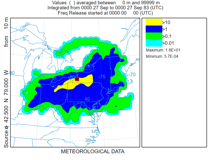
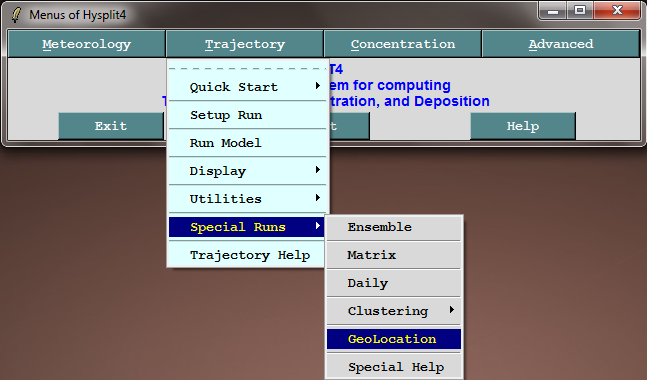
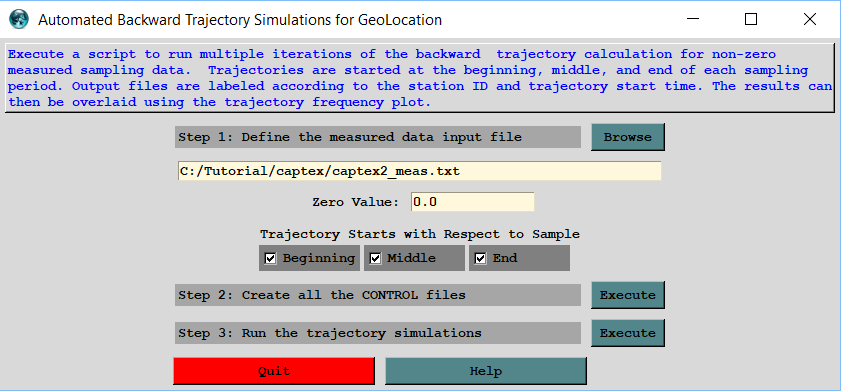
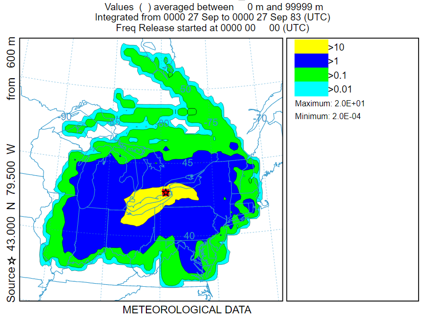
Source Geolocation using Backward Trajectories |
- Run backward trajectories from various locations corresponding with high measured values
- By superimposing these trajectories it may be possible to determine the source location
- For a more accurate geo-location, it is necessary to sample a variety of different flow orientations
traj_fwrd_control.txt | load control file |
83 09 25 17 | start time |
39.90 -84.22 600.0 | start location |
68 | run duration |
gdump | end points file |
captex2_wrf27uw.bin | meteorology |
gdump | base file name |
0.5 | grid resolution |
Results for the 600 m Release Height
Results for the 10 m Release Height