Python Display Options |
- Need a Python emulator, e.g. Anaconda
- Available for trajplot, concplot, and toaplot (isochron)
- The same command line options as the Fortran version
- Multiple output formats are available: pdf, png, etc
- Simple, city, or terrain map backgrounds
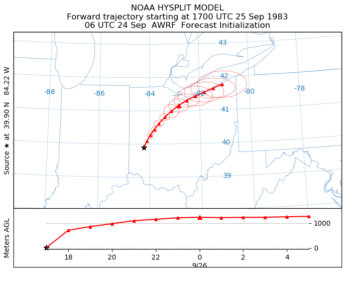
Default Map Background
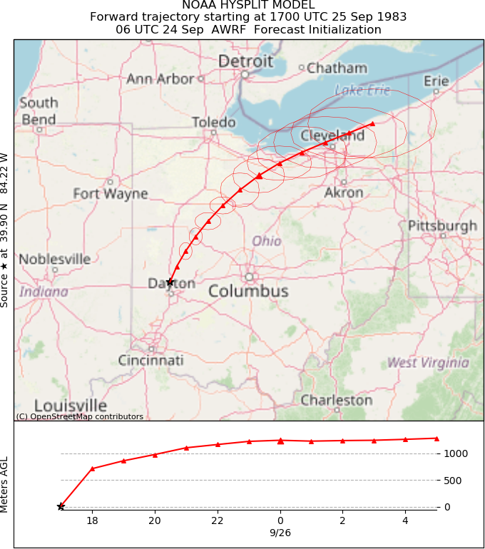
TONER Option - Map with Cities
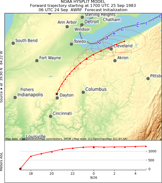
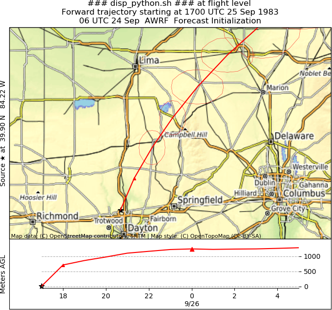
TERRAIN Option - adds Terrain Shading
Zoom Display adds Map Detail
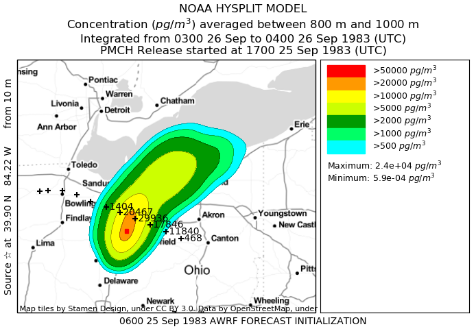
Air Concentration Display